SOBEK提供的軟體環境,用以模擬河流河口地區,灌溉排水系統以及排污,排雨系統的各種管理問題.
可以綜合考慮封閉管道流,明渠流,河流,地表漫流等一系列水力,水文和環境過程.
分別開發了三條產品線:SOBEK Rural, SOBEK Rrban與SOBEK River,各有特定的用戶介面,方便用戶全面有效的處理各種水相關問題
A general software package for the integral simulation of processes in one dimension, i.e. in a river, an estuary, a canal or in a sewer network. It is a powerful instrument for flood forecasting, optimisation of drainage systems, control of irrigation systems, sewer overflow design, ground-water level control, river morphology, salt intrusion and surface water quality. It has been developed - and is being further developed - jointly with Dutch public institutes and private consultants.
SOBEK is equipped with a very robust numerical scheme that handles drying and flooding and sub- and super critical flows efficiently. Its map-based user interfaces for the product lines: River, Lowland and Urban, are accompanied by a powerful process database and editor to enable the formulation of water quality processes by the user. There is a flexible link to various GIS systems. SOBEK also allows for the integration of user-defined modules through the use of specific data exchange formats.
SOBEK has three basic product lines covering any fresh water management situation in River, Rural and Urban systems alike. Each product line consists of different modules to simulate particular aspects of the water system. These modules can be operated separately or in combination. The data transfer between the modules is fully automatic and modules can be run in sequence or simultaneously to facilitate the physical interaction.
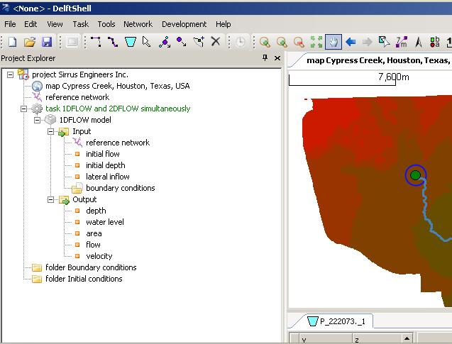
All product lines use the same interface components. The interfaces of the urban and rural product lines are fully integrated. So, when you know how to work with one module, you know how to work with them all. The user interface is used to prepare your schematisation, control your input data, check for possible schematisation errors, and helps you to analyse both input data and all computed parameters.


